Hoyt-Hall Preserve - Marshfield, MA
Hike, run, birdwatch, or paddle through history of all kinds in this 123-acre natural haven.


Download this map and track your hike on the Avenza Maps mobile app (above)
Click here for a virtual tour of Hoyt-Hall Preserve.
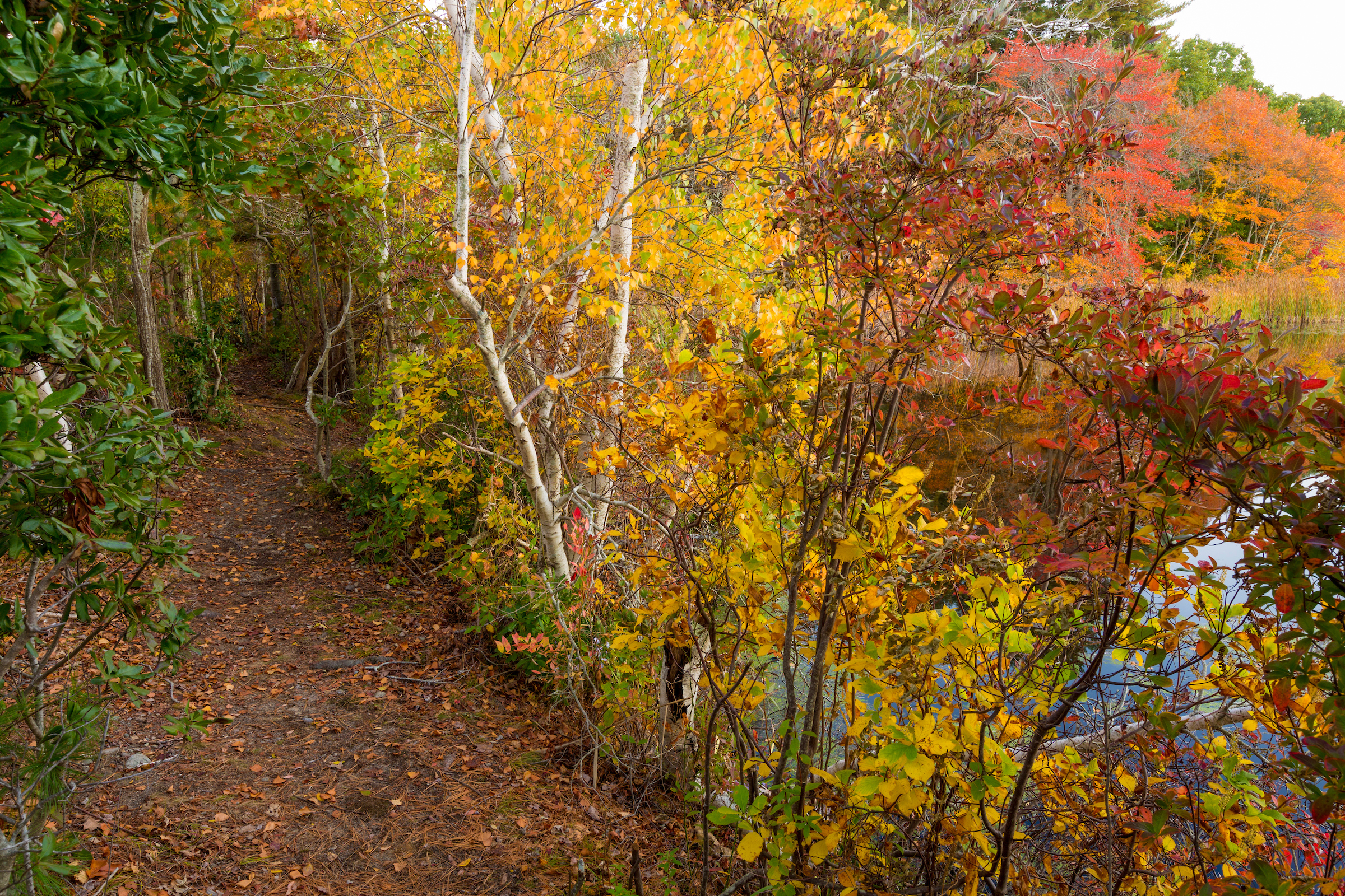
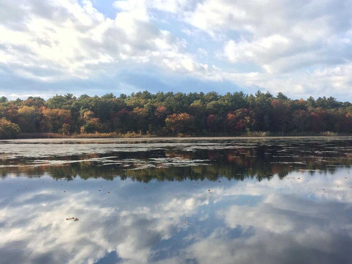
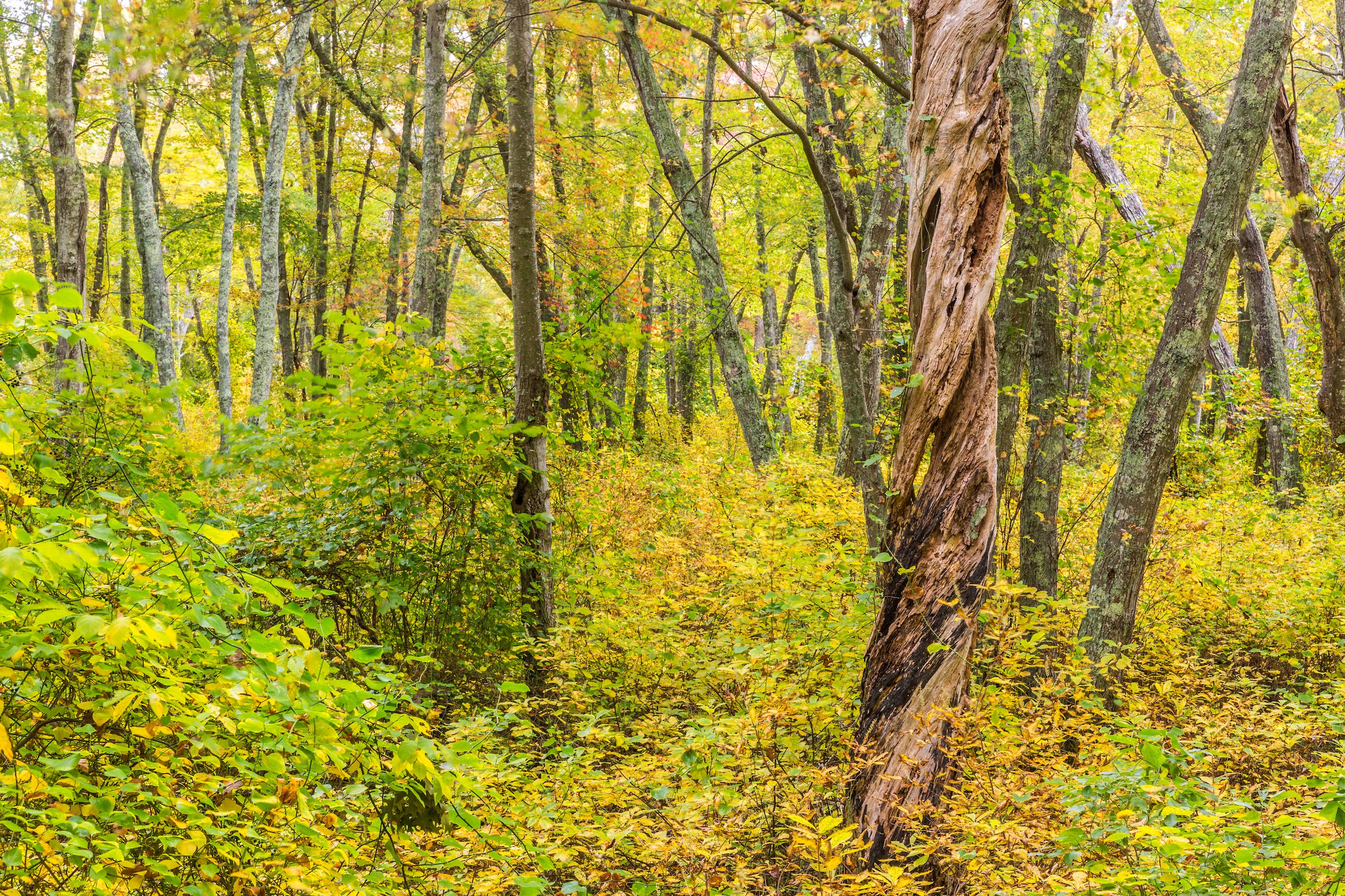
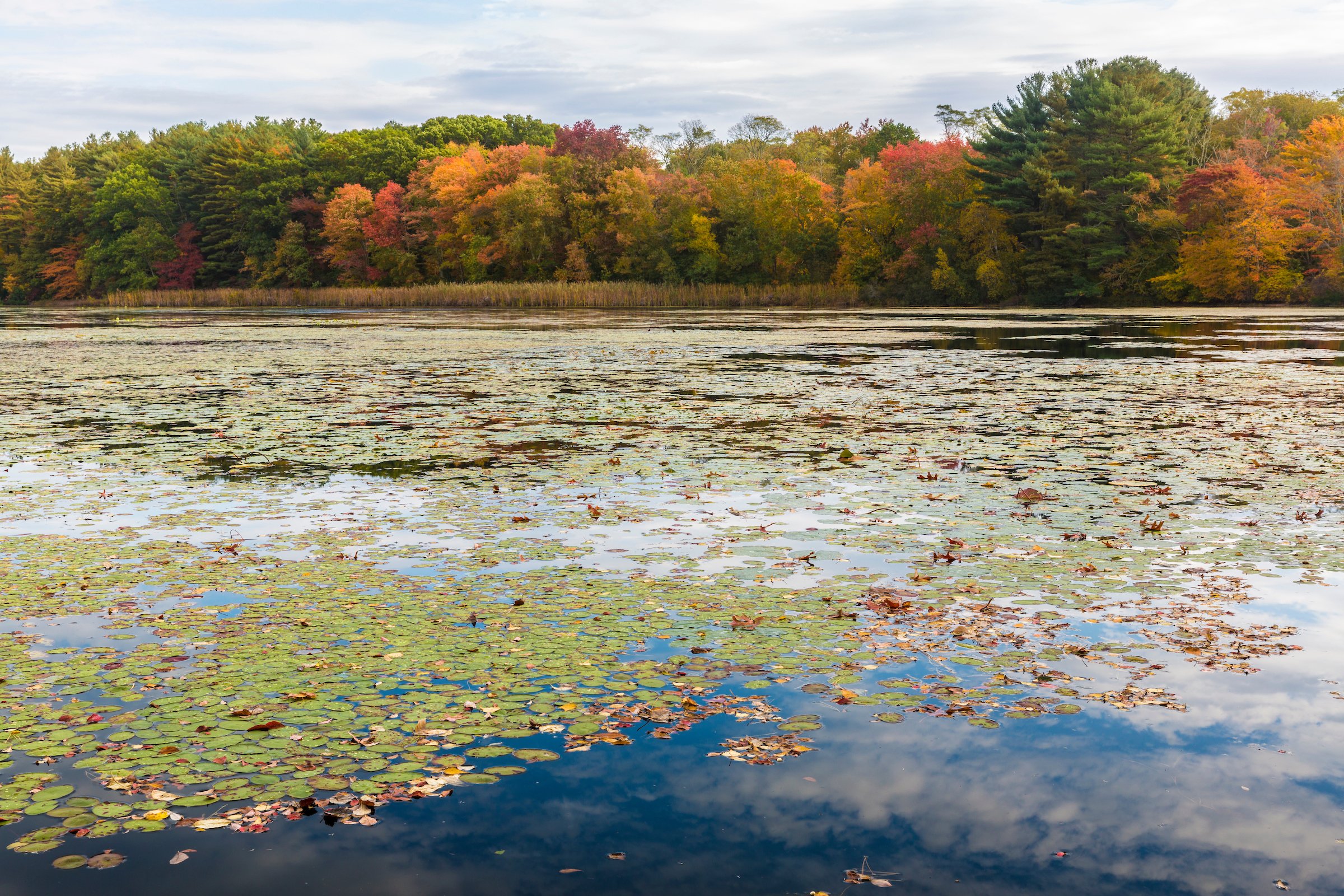
Featuring ponds, marshes, forests, and swamps, Hoyt-Hall Preserve offers visitors unique access to the full range of natural diversity found throughout the South Shore. The freshwater pond and marsh ecosystem supports a wide array of both aquatic and avian plant and animal species—possibly including the rare American Bittern. Meanwhile, a young forest of white pine and mixed deciduous trees (mostly oak and maple) blankets the uplands, replacing old-growth trees cleared in the colonial era. Small and large forest mammals (including deer, coyote, mice, and rabbits), as well as many species of birds, plants, insects, and fungi, thrive in the canopy and understory.
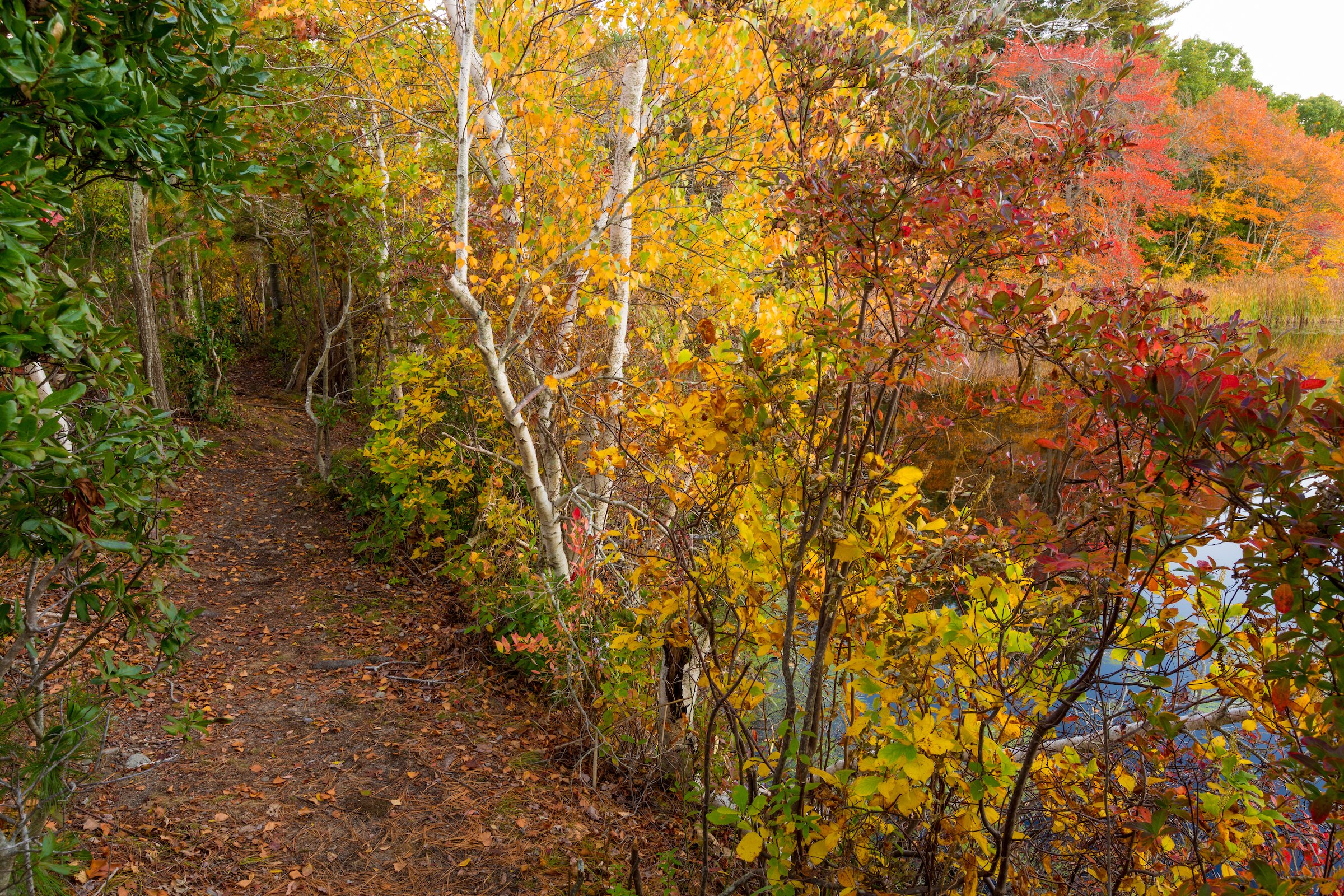
In the northeast portion of the preserve, several abandoned cranberry bogs are now well along in the successional process to red maple swamps. They host a variety of plants, amphibians, and invertebrates, many of which depend on the seasonally wet habitat to survive.
The Town of Marshfield’s Conservation Commission and Water Department own abutting open space that protects the town’s drinking water supply.
Access:
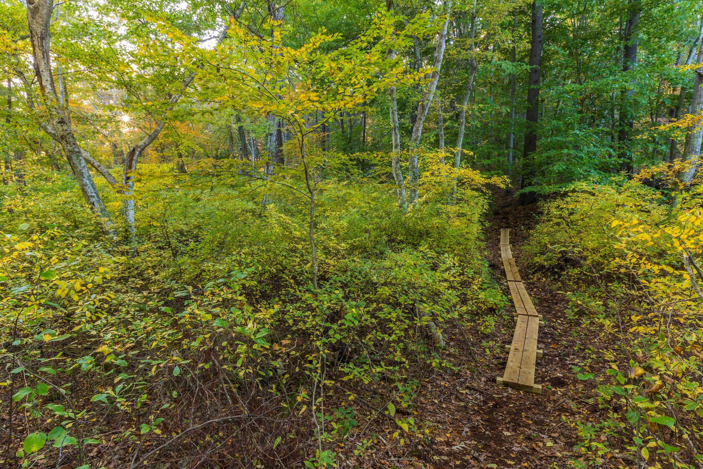
Be prepared for extensive roots along the paths, especially across the dam at the beginning of the trail. Bog boards are lain along many sections of the trails to assist visitors across muddy or damp areas. Hills pervade the terrain, so expect steep slopes on your walk.
Acquired:
Purchased by Wildlands Trust in 2000, in order to protect it from development. In partnership with the Town of Marshfield and the Historic Winslow House Association, Wildlands utilized DCR Recreational Trail Program funding to put in place a trail system that connects these adjacent conservation lands for public use and enjoyment.

History:
The varied topography of the preserve was shaped by the same retreating glacier that carved out the Cape and Islands some 14,000 years ago, creating dramatic eskers, lowlands, uplands, and depressions.
Before the European settlers arrived, Wampanoag who wintered around Lakeville and Middleboro made their summer encampment in this area. At that time, Long Tom Pond and the marshes were a continuation of tidal Duxbury Bay. Many well-used trails crossed the area; some later became colonial roadways.
In the 1630s, this land was granted to Gov. Edward Winslow. As settlers followed and their families expanded, the property was subdivided. Colonists cleared the forests for agriculture and for the prized oak and white pine used for shipbuilding. A dam was built to impound the upper part of the freshwater-fed pond. Later, Careswell Street isolated both parts of the pond from the salty bay, creating the freshwater system that exists today.
Farming continued into the 20th century. Wetlands were modified for cranberry bogs. As modernization took hold, agriculture faded. The abandoned bogs reverted to forested swamp, and upland forests once again dominated the landscape.
Pilgrim Trail, which skirts the border of the preserve, was originally a Wampanoag coastal route. In 1637, it became the first court-ordered road in Plymouth Colony—and possibly the country. At that time, the Pilgrims knew it as Green’s Harbor Path. Neighborhood signs mark the trail’s former route. Many sections are still intact and walkable.
Originally used by the Wampanoag to reach shellfishing grounds at Wharf Creek, King Philip’s Path once cut through the preserve. It was named after Metacomet, the Wampanoag chief who adopted the English name “King Philip.”
Named for Edward Winslow’s ancestral home “Kerswell” in Worcestershire, England, Old Careswell Street fell out of use when the road was improved and straightened in the 1930s. Where it diverges from the current Careswell Street, vestiges still remain and can be traced through Hoyt-Hall Preserve. A section of the old roadway makes up the raised causeway that runs along the ponds.
In 1871, the Duxbury and Cohasset railroad was extended to Marshfield, and became the Old Colony Railroad in 1878. The last train ran in 1939, after the causeway over the North River was damaged by the hurricane of 1938. Today, the rail bed is a walking trail open to the public.
Want to learn more about Hoyt-Hall history? Click here to explore our virtual guided hike, courtesy of ArcGIS StoryMaps.
Location:
Off Careswell Street, near Historic Winslow House, Marshfield, MA
Directions:
From Route 3: Take Exit 22 (old Exit 11) and merge onto MA-14 E. At traffic circle, take second exit to continue onto MA-14 E. At fork, bear left onto MA-139 W/Church Street. Continue on MA-139 W for roughly 2 miles. Parking is on the left.
Parking:
The trailhead parking lot is located near the intersection of Careswell Street and Colby Hewitt Lane.
There is no permitted parking on the road. If the parking lot is full, we encourage you to try one of our other preserves in Marshfield, such as Pudding Hill Reservation, with 37 acres and views of Chandlers Pond, or Phillips Farm Preserve, with 40 acres abutting town land and trails to the North River.