


Wyman North Fork Conservation Area
Bridgewater, MA
Woodlands, grasslands, rivers, and streams converge on this secluded natural haven.
Nestled between a bucolic neighborhood and the federally designated Wild and Scenic Taunton River, Wyman North Fork Conservation Area feels like a well-kept secret, where agricultural heritage and ecological diversity remain rooted to the Southeastern Massachusetts landscape. Thanks to a creative partnership between Wildlands Trust and the Town of Bridgewater, now everyone can explore this secluded natural haven.
The unnamed road leading into the preserve—an access route for the town water department—is easy to miss. But those who venture down it are rewarded with the feeling of moving back through time. Traffic noise gives way to the serenades of Song Sparrows and Red-winged Blackbirds from the tall grasses of Wyman Meadow, the site of a dairy farm for much of the 20th century. A wooden bridge leads visitors down a wide-mowed path through the meadow, where butterflies and wildflowers add bursts of color in spring.
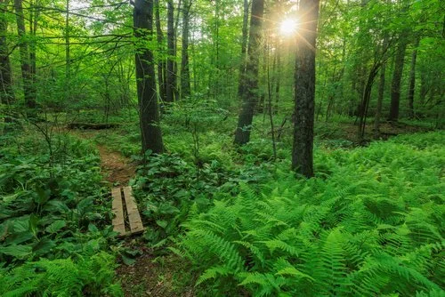


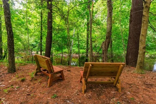


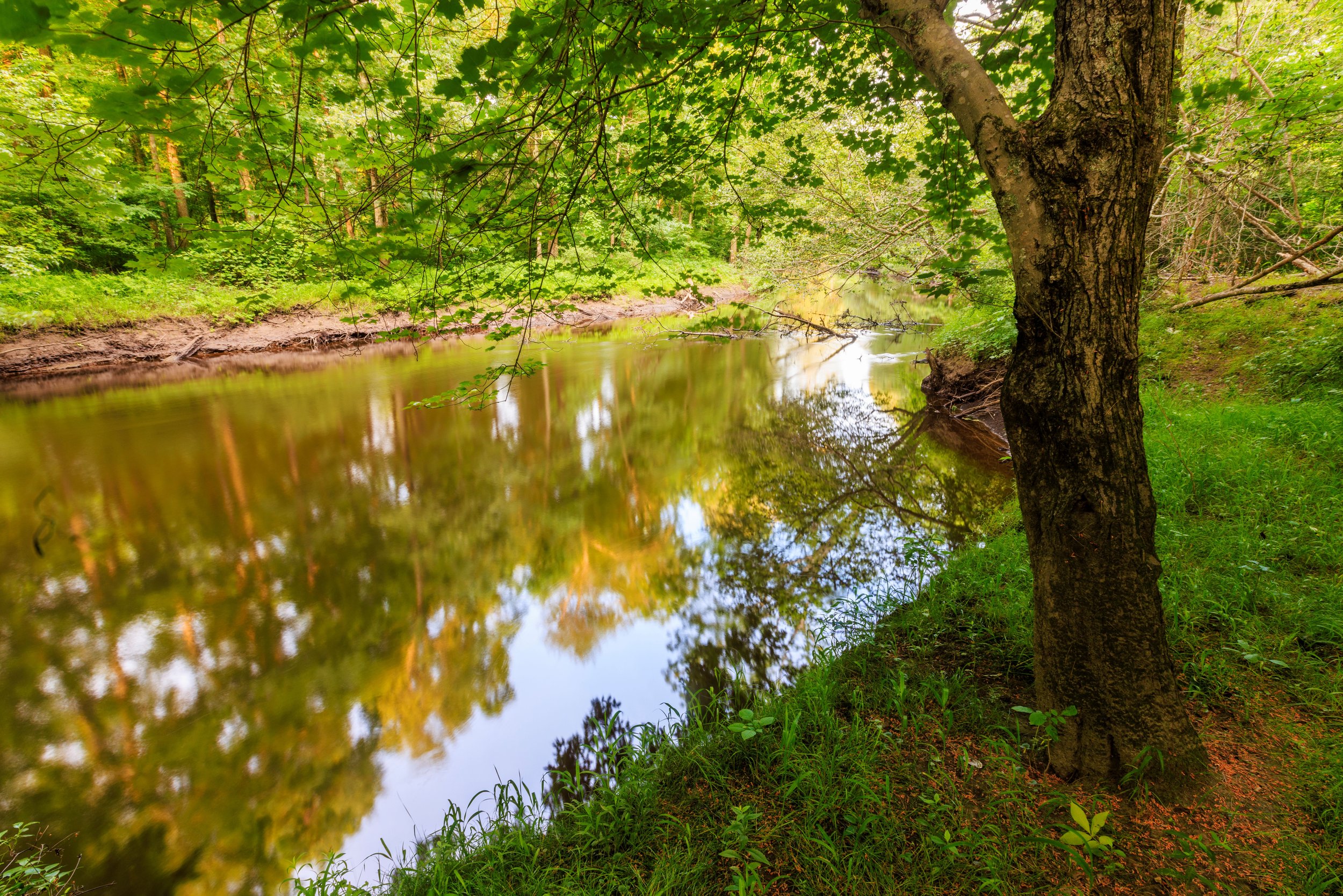
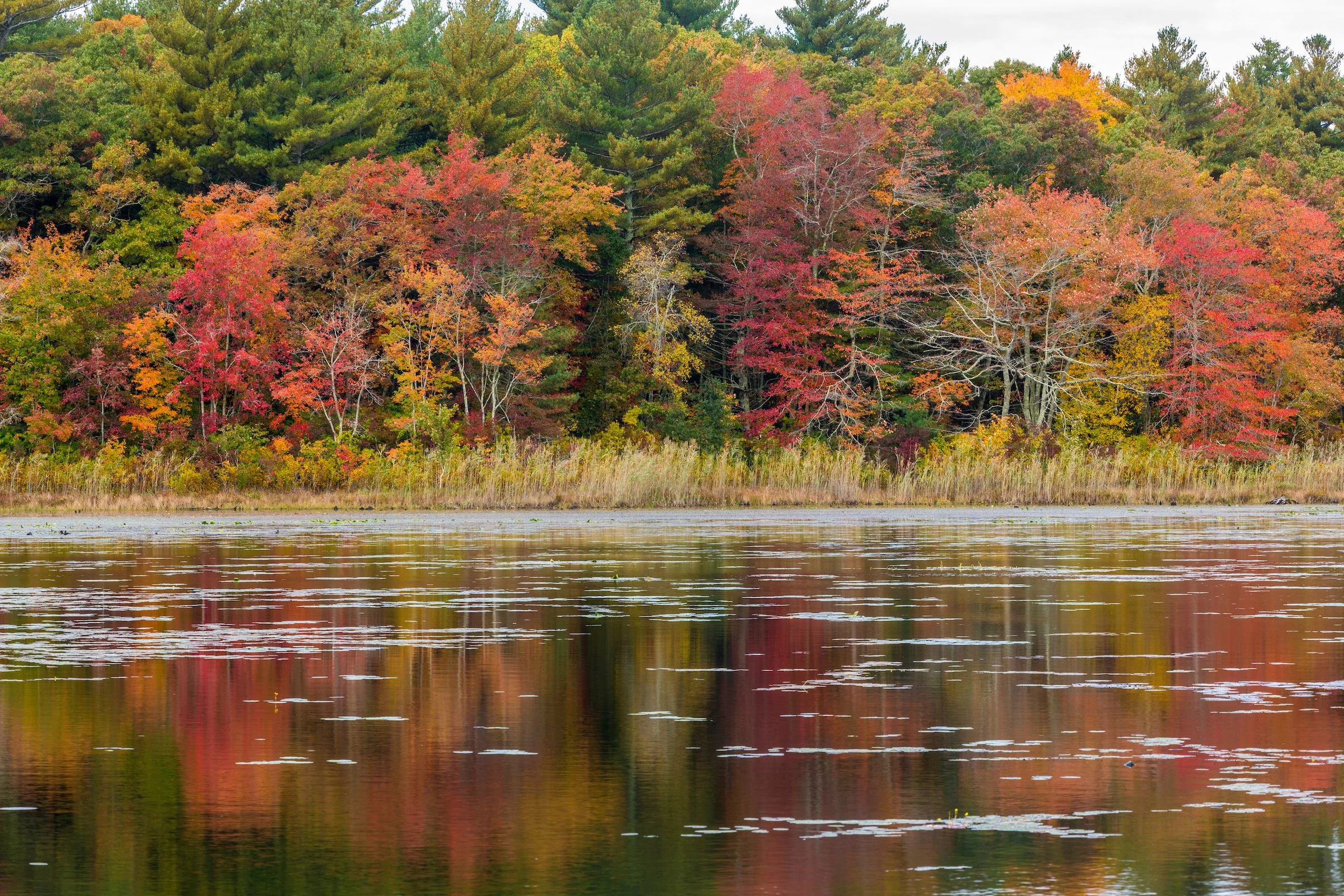
At the meadow’s edge, the trail slips into the forest, giving shady refuge to people and wildlife alike. Diverse ecosystems coexist here, including pine-oak woodlands and red maple swamps. Less than a quarter-mile counterclockwise around the trail loop, a high bluff provides scenic views up and down the Taunton River corridor. Located less than two miles downstream from the headwaters of the Taunton, Wyman North Fork protects vital riparian habitat for rare aquatic and terrestrial species. Several intermittent streams trickle across the preserve, nourishing the highbush blueberry, sweet pepperbush, and Eastern skunk cabbage that pervade the forest understory.
Access:
The conservation area is relatively flat. The woodland trails are frequently flooded, so exercise caution after heavy rains. Narrow bog boards sit along the wettest sections of the trail.
Track your Wildlands hike on Avenza Maps mobile app. Learn more.
Acquired:
North Fork Preserve (41 acres): acquired by Wildlands in 2001 from Helen M. Bodie, with funds from the Sheehan Family Foundation.
Wyman Conservation Area (55 acres): acquired in 1999 by the Town of Bridgewater with a Massachusetts self-help land acquisition grant.
History:
Wyman North Fork Conservation Area is the result of a creative partnership between Wildlands Trust and the Town of Bridgewater. North Fork Preserve, the 41-acre wooded section of the conservation area owned by Wildlands, was managed as “Forever Wild” (i.e., without trails) for 23 years after its purchase in 2001. Wyman Meadow Conservation Area, owned by the Town since 1999, impeded public access to North Fork. In 2021, Bridgewater Open Space Committee Chair Eileen Hiney proposed a trail through both preserves, managed by Wildlands with access maintained by the Town. In 2024, an opening ceremony celebrated the collaborative trail system, built by Wildlands staff and volunteers.
Bordering Wyman North Fork Conservation Area to the northeast, Plymouth Street used to be on the stagecoach route from Boston to Plymouth and served as a stop for fresh horses. Wyman Farm raised dairy cows on the property from the 1950s to the 1980s. Production turned to beef cattle and hay from 1987 until 1999, when the Town acquired the land.
Guidelines for North Fork Preserve:

Hunting is prohibited on North Fork Preserve, Wildlands’ property that begins at the tree line beyond the meadow. Consult the Town of Bridgewater for hunting policy on Wyman Meadow Conservation Area.

Location:
Access road off Plymouth Street, Bridgewater, MA (Closest address: 1715 Plymouth Street)
Directions:
From the west: From I-495 N, take exit 19A for RT-24 North. In 1.6 miles, take exit 24 onto RT-104 and keep right onto RT-104 East. In 3.1 miles, turn left onto South Street. In 0.2 miles, take a slight left turn onto Central Square and turn right onto Summer Street. In 3.3 miles, turn right down the access road. The parking area is one-tenth of a mile on the left.
From the east: From RT-3 N, take exit 18 onto RT-3A and turn right onto Main Street.In 0.6 miles, take a slight left onto Main Street. In 1.4 miles, take a slight left onto Wapping Road. In 9.4 miles, turn left onto Old Plymouth Street, then turn left onto East Street. In 0.5 miles, turn right onto Plymouth Street. In 0.2 miles, turn left down the access road. The parking area is one-tenth of a mile on the left.
Parking:
The parking area on the lefthand side of the access road can accommodate three cars.
Upcoming Events


Featured Articles
Bridgewater Trails


